It’s no secret that the climate in Houston is hot, but a new research study is set to look into exactly how hot – and the extent to which heat levels vary across the city. The Houston Harris Heat Action Team is leading the effort to create a heat map of the Houston area.
Jaime Gonzalez, director of Houston Healthy Cities programs for the Nature Conservancy, is working on the project. It is a “community science effort,” he told Texas Standard.
“The hope is, that Harris County and the City of Houston, both who are leading local resiliency efforts, working with private nonprofits and business interests, can all get together and identify: where are the real heat pockets in the city and the county; how are these impacting communities; particularly under-resourced communities?” Gonzalez said.
Volunteers start work on Friday. They will mount specialty designed temperature and humidity devices to their cars.
“You get your driving directions turn by turn; you have one hour to complete that route and, all along the way, the piece of scientific equipment will be collecting data that will then be uploaded,” Gonzalez said.
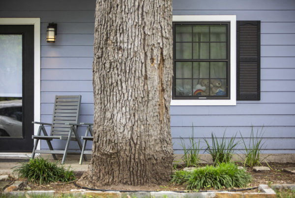
The team expects to find discrepancies between natural areas and those with lots of concrete. More natural areas are often ten degrees cooler than urban ones. Due to climate change, communities with more trees are expected to be cooler as well.
“We’re going to see, we think, a really big difference between some neighborhoods that don’t have very many trees, and not a lot of greenery, and those areas which do. And that will help us kind of strategize on where to make interventions to combat this heat,” Gonzalez said.
According to Gonzalez, heat is the greatest weather-related disaster in the United States. Some solutions to combat the problem, once the map is complete, might include strategically planning cool pavements and planting trees.
Web story by Sarah Gabrielli.


