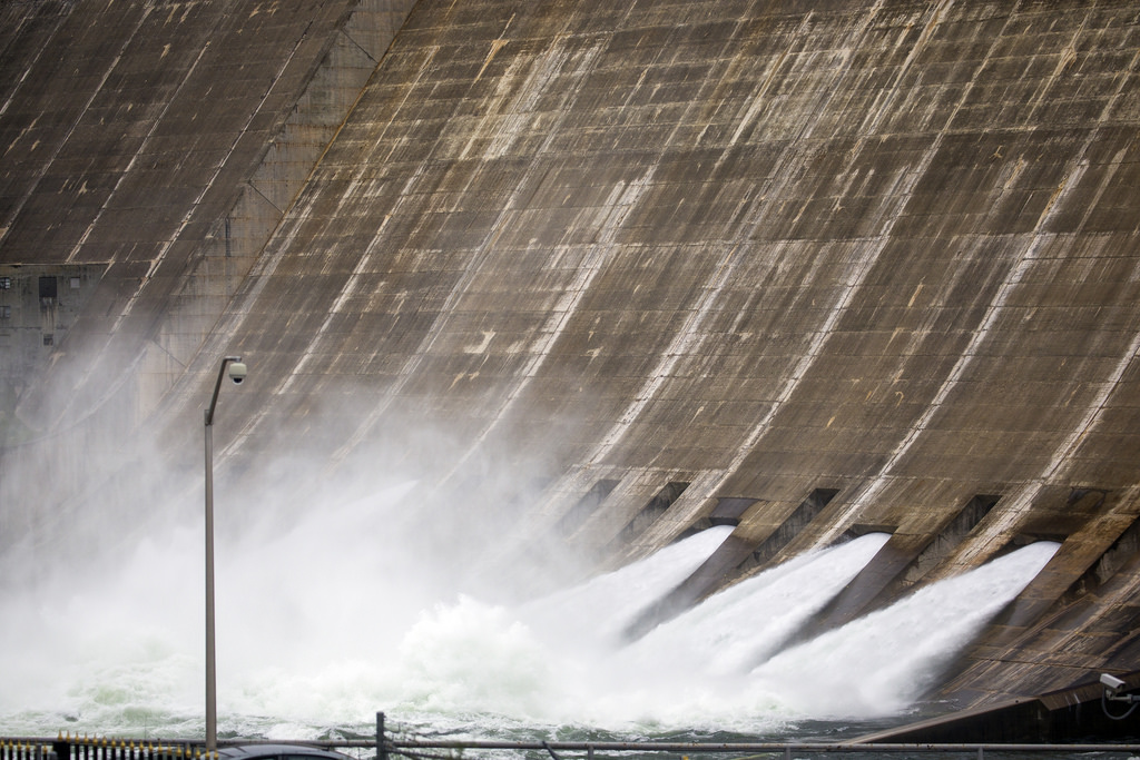
Much of the Lone Star State will be hit with severe storms and large amounts of rainfall, starting late Thursday and continuing in some places into the weekend. Some of it is expected to be severe.
Up north, there are warnings of snow and ice. In South Texas, look for extremely heavy downpours and the possibility of tornadoes. As of Thursday morning, it’s looking like the worst conditions could be in the Panhandle, where precipitation could mix with freezing temperatures, making travel treacherous.
But torrential rain is likely in a zone that covers a loop from near Del Rio in the west, up to the San Antonio area and across I-10, then out to the Gulf and down to include Victoria, Kingsville and again running out to the coast south of Corpus Christi.
Victor Murphy is with the National Weather Service Southern Region Headquarters in Fort Worth, and he’s been watching these storms develop. He says that rainfall is the major threat in the current weather system, and that Houston and southeast Texas are at greatest risk, though metro areas further north, including Austin and San Antonio, are currently under flash flood watches. He says the heavy rains should begin Friday, and could dump as much as 3-6 inches of rain in those areas.
“When you have widespread amounts of that magnitude, you’re going to see some isolated amounts that exceed that,” Murphy says. “So there probably will be some 8-10 inch amounts isolated here and there.”
Murphy says residents in areas at risk for heavy rain should be mindful, staying off highways during the storm. Keeping up with the weather news is important, too.
“Listen to your local weather service office watches and warnings,” Murphy says.
Written by Shelly Brisbin.


