Many Alaskan residents are reeling after a 7.1 magnitude earthquake yesterday. The epicenter was in the south-central portion of the state. So far no injuries have been reported, but ruptured gas lines have created dangers in some communities. Residents in those areas have been evacuated to temporary shelters set up by the National Guard.
While Alaskans have some experience with these issues, North Texans are learning more and more about the dangers.
Recently, a wave of tremors near Dallas have led many to believe the area’s seismic activity is related to the fracking industry and the injection of wastewater into the ground. But a new map may point to another culprit: nature itself.
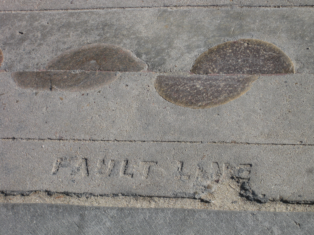
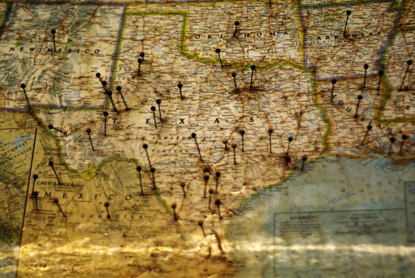
The new maps show, for the first time in great detail, a network of faults that lie under the Dallas-Fort Worth area. Anna Kuchment from the Dallas Morning News says the maps were previously private, held by the ExxonMobile subsidiary XTO Energy, Inc. But the company released the maps to the Texas Railroad Commission, which regulates oil and gas in the state. This made the maps available to the public.
Kuchment says the scientists at XTO and ExxonMobile are experts at looking at the raw data underlying the maps, but we can’t give the maps full weight yet – they’re only one interpretation.
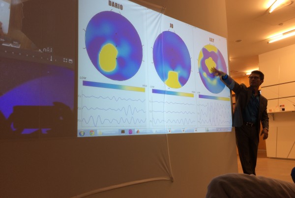
“The maps are based on what’s called seismic data,” Kuchment says. “As (oil and gas companies) explore for petroleum reserves, they shoot seismic lines, which are basically sound waves into the ground, to create basically ultrasounds of the earth that highlight oil and gas deposits as well as fault lines. Their interpretation is a pretty good interpretation it’s just that every oil company might interpret the faults a little bit differently.”
The U.S. Geological Survey does say that the Dallas-Fort Worth area could expect an earthquake as large as magnitude 6, and they’re not able to rule out even larger earthquakes.
“They know that, just by kind of comparing our area to geologically similar areas around the world, they sort of made that prediction not having access to the information behind this map that XTO created,” Kuchment says.
So what do these new maps say about the cause of recent Texas earthquakes? Kuchment says there’s not evidence tying injection wells to earthquakes in Dallas yet, but there are efforts to have a wastewater injection well near the DFW airport shut down. There are a few fault lines running through the DFW airport.
Kuchment says that the U.S. Geological Survey and scientists at the University of Texas at Austin and Southern Methodist University put out a study tying earthquakes west of Fort Worth to oil and gas activity. But the Railroad Commission says they’re not convinced.
“They say that they need more evidence,” Kuchment says. “They’re not fully convinced yet that our earthquakes are not natural.”


