From Houston Public Media:
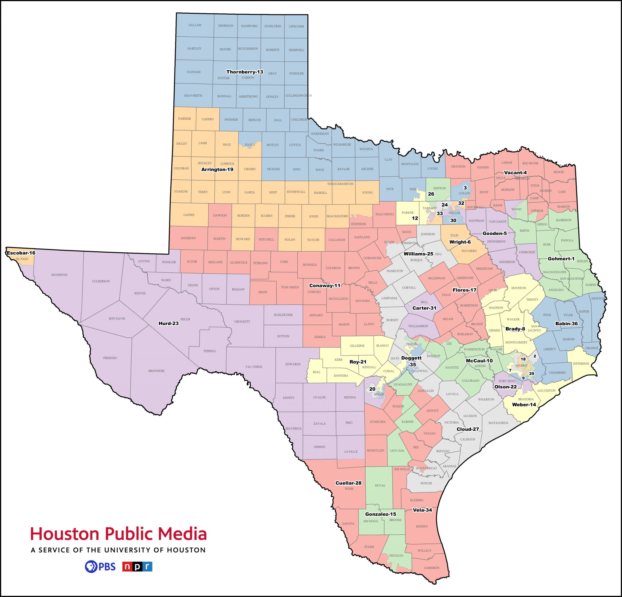
When the Census results are released next spring, Texas is expected to gain as many as three new congressional seats. Redrawing the district maps for the U.S. House of Representatives – as well as for the State Legislature and the State Board of Education – will be one of the major tasks Texas lawmakers face in the next session.
But how does that work?
To draw useful maps, legislators need to know who lives where — information that’s just being analyzed now by the U.S. Census Bureau.
“The deadline, the statutory deadline for release of the census is March 31,” said Jeff Archer, executive director of the Texas Legislative Council, a non-partisan research agency that assists lawmakers in redistricting. “For redistricting, you need two things: you need the census, and you need the system to use the census, to draw the districts.”
The system Texas lawmakers use is unique software known as Red Apple, short for “redistricting application.” Texas is one of the few states that still uses its own custom software.
“The bigger the state, the more likely they are to use their own – California or Texas or New York – than a smaller state that’s more likely to use off-the-shelf software that has a lot less data, a lot fewer issues,” Archer said.
Texas has used some version of Red Apple since the 1990s. Archer said the only major changes in the program since then is that it has become faster and smoother in its operations.
The U.S. Census Bureau website currently is projecting the release of census data will be around April 1, at least a day late. But once the data becomes available, any state lawmaker can input that data into Red Apple and start to draw maps.
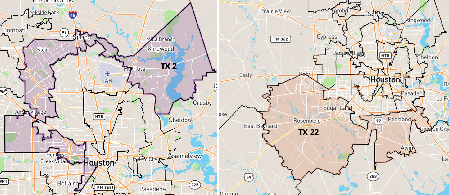
“If you want a district that has 100,000 people in it,” Archer said, “you basically open the system to the part of the state that you want your district in, and you start selecting units of geography, basically combining them together into a blob, if you will, into a district. It will automatically accumulate all the data for all the blocks, the census data.”
And with that, you can draw maps that, say, make it more or less likely that Republicans or Democrats — or any particular demographic group you can think of — can elect a representative that reflects their interests.
Archer said it’s not just lawmakers who make use of the software.
“The Legislature traditionally makes it available through the members. So, a citizen can contact their member if they want to work on districts. But our system is designed to work only in the Capitol complex. There’s a lot of security involved and so on,” he said. “Lots of members sponsor groups or work with, you know, MALDEF or the Republican Party in their offices or in their district offices.”
Because Republicans control a majority in both chambers of the State Legislature, as they have for nearly two decades, the final maps are likely to favor Republicans. That’s the hope of Adam Kincaid, executive director of the National Republican Redistricting Trust, a group that coordinates redistricting efforts in all 50 states.
“Our hopes when it comes to Texas redistricting is simply that we’ll have maps that respect communities of interest, that keep cities’ and counties’ populations together, that we’ll be able to send back a healthy delegation to the United States House in 2023 after these lines are drawn and we hold elections on them in 2022, and that Texas will be a big part of helping Republicans take back the U.S. House in 2022,” Kincaid said.


