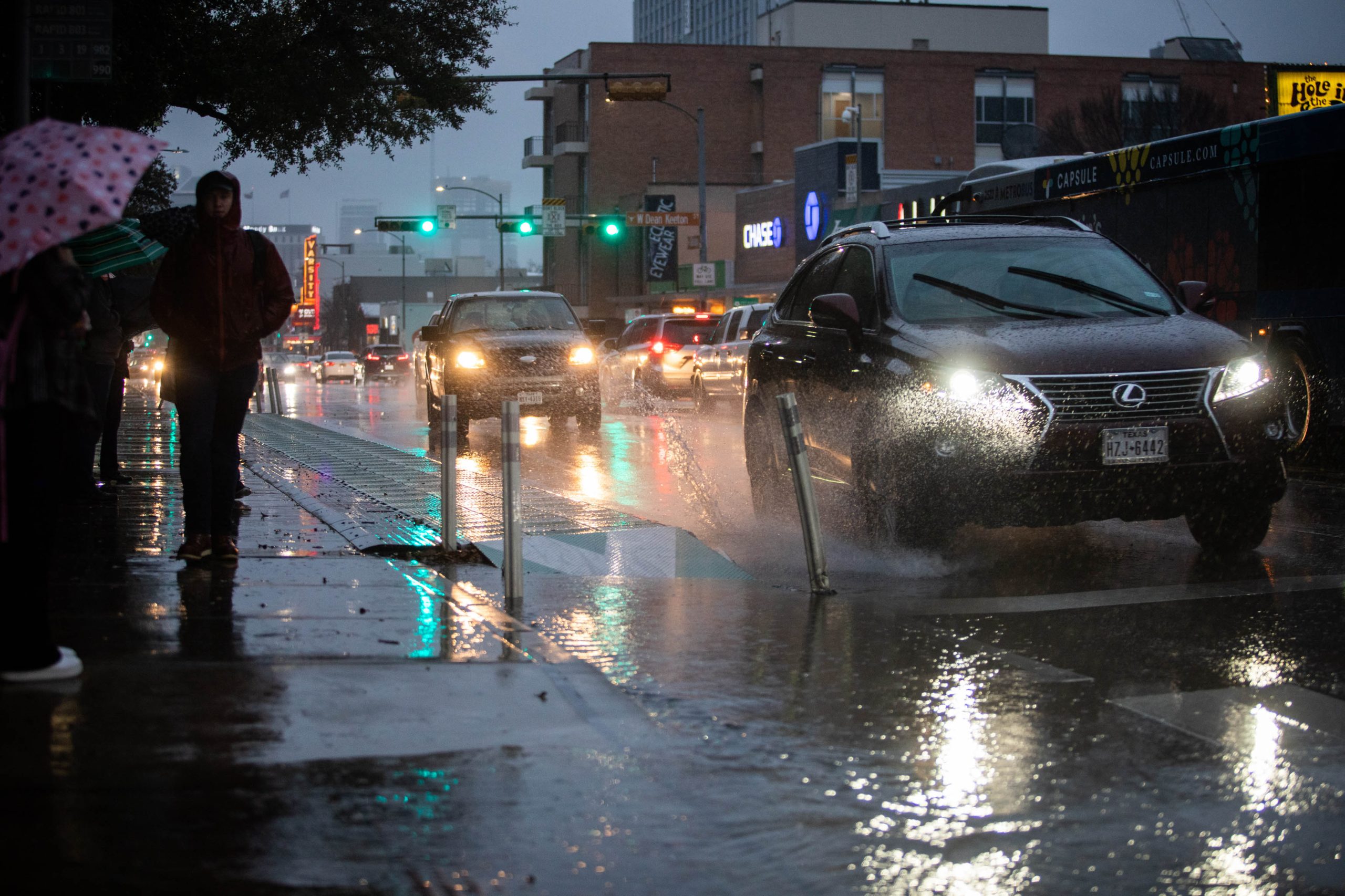
This time of year, severe thunderstorms, large hail, damaging winds, tornadoes and dangerous lightning are common. But depending on where a storm hits, all of this weather can intensify.
That’s why a team of researchers looked at more than two decades of climate data here in the Lone Star State to get a sense for how urban and rural areas interact with storms.
They examined 40,000 storms in Dallas, Austin, San Antonio and Houston.
State Climatologist John Nielsen-Gammon was part of the research team and he joined the Standard to discuss their findings. Listen to the interview in the player above or read the transcript below.
This transcript has been edited lightly for clarity:
Texas Standard: For this research, you looked at thousands and thousands of storms across Texas for years. What specific data points were you looking for?
John Nielsen-Gammon: Well, what we did was we looked at a couple of decades worth of storms hitting four major cities in Texas, DFW, Houston, Austin and San Antonio.
And we compared the storms in those cities, the storms in surrounding areas to see what sort of differences there were in the behavior of those storms as they formed and moved across the metropolitan areas.
So, did you find any noteworthy differences?
So the difference is, if you look at it in bulk, they were kind of subtle, but they really emerged once we categorized the storms into different types, right?
Everybody knows that different weather systems look differently. An individual thunderstorm is going to be different from a cold front, it’s going to be different from a tropical storm, that sort of thing. And it turns out they respond differently to urban areas as well.
Probably the biggest finding was how important urban areas were toward individual thunderstorms or smaller-scale collections of thunderstorms. Every single city we looked at, the storms were enhanced there — both during the daytime and especially nighttime. There’s a bigger influence in those types of precipitation events.
So you’re looking at these storms event by event, and you’re tracking them as they develop, they move, and ultimately dissipate. Did they fall into some pretty clear-cut categories once you started doing that?
Yeah, I mentioned they broke down into individual storms, small-scale stuff. That accounts for the largest number of events, but the greatest amount of precipitation tends to occur with larger-scale, more organized systems — storm systems moving in from the north and northwest.
We call those cold front-type storms. Large-scale convection coming in from the south, off the Gulf of Mexico we refer of the warm frontal storms, and then there were organized tropical storms as well.
We found that, for example, for a cold front, cities sort of had an opposite effect. They didn’t reduce the number of events because you’ve got large-scale stuff coming through. They affected the intensity of the storm as they moved across the city.
» GET MORE NEWS FROM AROUND THE STATE: Sign up for Texas Standard’s weekly newsletters
And across all four cities that you looked into, these storms seem to be occurring more often over urban areas than over nearby rural land. Do I have that right?
That’s right. Before that, for the individual thunderstorms, yeah. In Houston, it is even more than that because you also have Galveston Bay, which is cooler than the city. Therefore, the urban heat island of Houston was even stronger than in the other urban areas.
Why? What is that? Is that about differences in temperature, that urban areas tend to store more heat, and something about the way that precipitation works when it encounters that heat?
Yeah, it seems to be mainly the temperature effect.
And it’s not when the storms are encountering the heat. So much of the heat is helping to trigger the storm from the first place. It’s making the low-level air more unstable so it can feed into the thunderstorms and make them more intense, as we found.
Interesting. And as these storms cross cities, what happens then? Do the cities tend to weaken the effect of storms as they move through?
Well for the individual thunderstorms, they provided local enhancement — the other local effects from the cities being typically rougher from the surrounding countryside… More buildings, and so have an effect on the wind pattern.
They can produce convergence from different places and that can enhance storms locally. And also there’s more pollution in cities and tiny particles in the air can affect how precipitation forms and develops.
We didn’t try to separate out those mechanisms, but they’re all present in the city, and it’s not surprising that the weather does respond to the presence of those cities.
You know, one of the reasons that this data is important is that, well, I think it can be critical for urban planning. And we’ve been talking a lot about the changing face of Texas — the demographics, the growth, and that sort of thing.
And I think in the past, if you were, say, doing urban planning, you would look to average rainfall statistics and think about what that means for the drainage systems you design and maybe flood control infrastructure, that kind of thing.
It sounds like maybe just looking at something like rainfall statistics won’t cut it, that what you’re finding is there has to be a much more nuanced approach if you want to plan effectively for how to handle extreme weather.
Quite possibly. We didn’t look specifically at extreme precipitation in our study. We didn’t look at how weak storms are affected differently from strong storms, for example.
So, if you were designing the headline for the takeaway from this research, this very data-intensive research here, what would you say?
Well, I would say that on the one hand, storms are influenced by the presence of cities, but it depends on the type of storm as to what sort of influence the city is going to have.
You can’t just make a blanket statement about how urban areas affect the weather. It very much depends on a particular situation, but they do have an impact.